
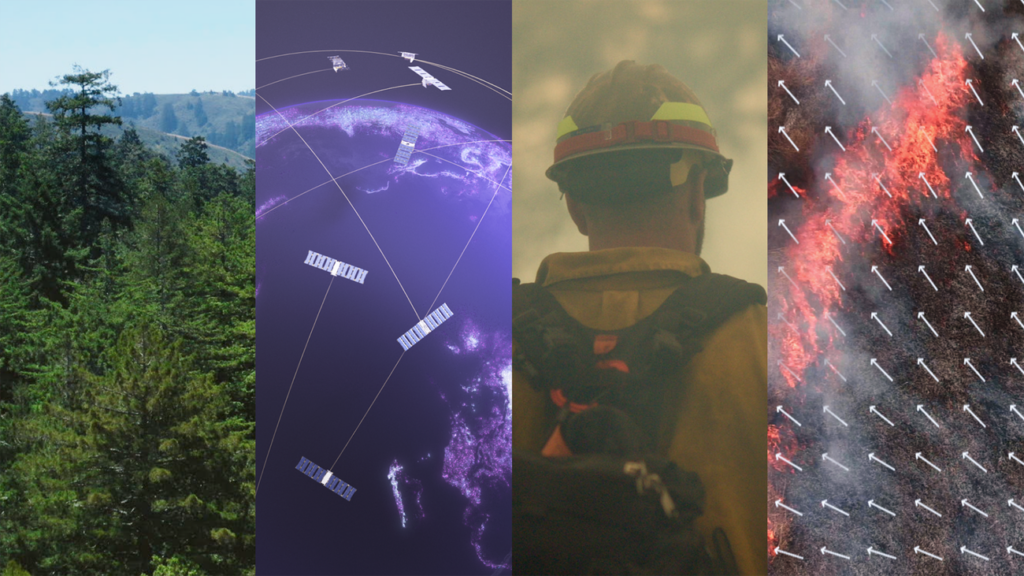
As temperatures rise and climates become drier worldwide, wildfires are becoming more frequent. Traditional satellite imagery used by firefighters has been limited in resolution and frequency, making it challenging to spot fires until they have already spread significantly.
Google Research has partnered with experts in firefighting to develop FireSat – a specialized group of satellites crafted to identify and monitor wildfires as small as a classroom (approximately 5×5 meters) in size. By providing high-resolution images updated every 20 minutes on a global scale, FireSat equips authorities with the tools to combat fires before they escalate into major disasters.
In support of this project, Google.org contributed $13 million in funding to the effort spearheaded by the Earth Fire Alliance, a non-profit organization dedicated to launching the FireSat satellite network, with additional backing from the Moore Foundation.
Source: Google Blog Post on FireSat